In the summer of 1997 we went on
a long camping trip to Alaska. Gail flew from Indiana to
California to spend a few days with her parents. I drove out to
California with our only dog, Suddenly Sam, a Golden Retriever.
From southern California we went up the coast to Oregon and then into
Canada and Alaska. Our return trip was across Canada and
down into Minnesota and then on to Indiana. These pictures were
taken then and scanned back in the day when scanners were big, slow, and
expensive. Enjoy.
 |
 |
 |
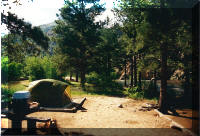
| Our second night on the road and our first camp.
Colorado on the Poudre River. |
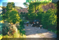
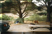
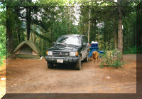
Next night in Utah, Fishlake National Forest. The
black Misubishi was our car for the trip. |
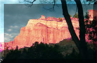
Sunset, same campground |
 |
 |
 |
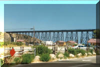
| After leaving Gail's parents we started up the coast and
stopped for lunch in a State Park named Gaviota. There was
no way to know then how much time we would spend in that park in
later years. |
That night we stopped at Montana de Oro State Park, a little
further up the coast. |
Late afternoon sun and bikers |
 |
 |
 |
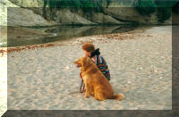
| Gail and Sam watching the sunset. |
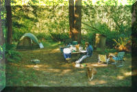
The next couple of nights were spent in the Redwoods
Parks in northern California. |
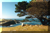
Sam enjoying himself on the rocks above the ocean. |
 |
 |
 |
| |
|
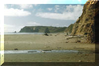
Capo Blanco State Park on the Oregon coast |
 |
 |
 |
| |
After visiting Courtney and Erin in the Portland area we
spent several days working our way north through British
Columbia. This is the Frazier river Canyon. |
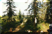
Our first BC campground, behind a small country store, the Pavilion Store which was the oldest in BC before burning
down in 2000 |
 |
 |
 |
| At Prince George we turned left on the Yellowhead highway
and camped in this small, commercial campground |
Same campground and one that demonstrates that a well
composed pictures can make some places look nicer than the
really were. |
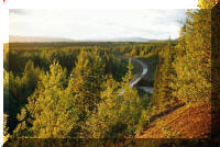
A view along the Yellowhead |
 |
 |
 |
| The junction of the Cassiar Highway and the Yellowhead.
We turned north on the Cassiar which ends at the Alaska Highway. |
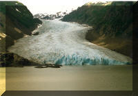
A little ways up the Cassiar we turned left on highway 37A
heading for Hyder, Alaska. This is Bear Glacier along the
37A |
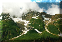
A hanging glacier also along the 37A |
 |
 |
 |
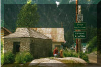
| After watching a Canada Day parade in Stewert, B.C., we
drove on over to Hyder, AK, a town so remote from the rest of
the U.S. Canadian currency is used. |
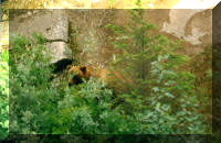
A young grizzly on the outskirts of Hyder. |
The Salmon Glacier, a few mile beyond Hyder. |
 |
 |
 |
| Another shot of the Salmon Glacier |
We spent that night in a small campground up above the
Cassiar |
Sam guarding our stuff while we went off to talk to the
owners (Germans I believe) and to take showers. |
 |
 |
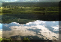 |
| A small lake along the Cassiar. |
And another |
And another |
 |
 |
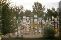 |
| A large lake along the Cassiar, maybe the Kinaskan |
The north end of the Cassiar. A few more miles up the
road and we will come to the Alaska Highway where we will spend
the night in Watson Lake before heading west into the Yukon
Territory. |
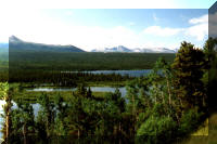
A very small sampling of the signs in the sign forest at
Watson Lake |
 |
 |
 |
| One of the many lakes seen from along the Alaska Highway.
This one is near the BC-Yukon border |
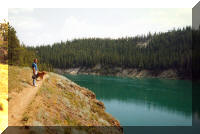
Along the Yukon River near Whitehorse |
Two days after Whitehorse we crossed into Alaska |
 |
 |
 |
| Camped outside of Fairbanks |
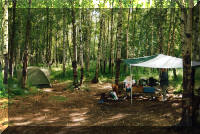
Hidden Lake on the Kenai Peninsula. We stayed here for
three nights while we made day trips. |
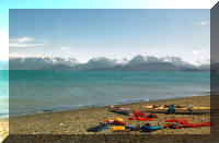
The first day trip took us to Homer. This is looking
across Cook Inlet on our way to Homer |
 |
 |
 |
| On the spit at Homer |
Same |
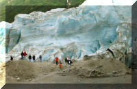
The next day we drove down to Seward to do some shopping,
sightseeing, and laundry. On the return trip we stopped to
see the Exit Glacier. shortly after that, the head gasket
in our car blew. |
 |
 |
 |
| We spent a week camped here in the Anchorage City campground
while we waited to get the car fixed. |
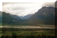
Out of Anchorage and on the road to Tok |
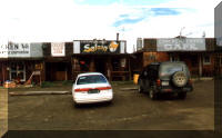
From Tok we took the Top of the World Highway to Dawson.
along the way we stopped in Chicken, Alaska. the town
supposedly got its name because the miners wanted to name in
Ptarmigan but didn't know how to spell it. |
 |
 |
 |
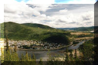
| Dawson on the Yukon River in the Yukon Territory |
Our campsite across the river from Dawson |
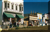
Downtown Dawson |
 |
 |
 |
| We ate dinner here and and enjoyed the
show |
East of Dawson in another very nice
Provincial Park |
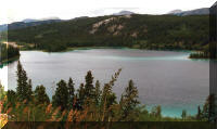
Between Whitehorse and Carcross we
stopped to look at Emerald Lake. This photo really doesn't
capture the beautful color of the lake. From Carcross we
went north a bit to catch the Alaska Highway and the shortest
way home. |
 |
 |
 |
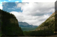
| Back in British Columbia and heading southeast on the Alaska
Highway |
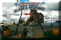
At the end of the Alaska Highway |
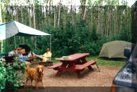
Camped in Alberta |
 |
 |
 |
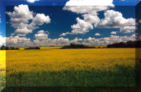
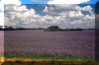
| Canola fields in eastern Alberta |
Lavender fields, also in eastern Alberta |
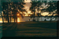
Jackfish Lake as seen from Battlefords Provincial Park,
Saskatchewan. |
 |
 |
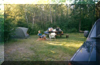 |
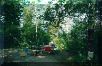
| Our campsite in Riding Mountain National Park |
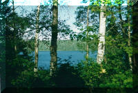
And one of the lakes in the park |
We crossed back into the US at International Falls and
camped there for the night |
 |
 |
|
| Au Train Lake on the Upper Peninsula of Michigan |
Mackinac Bridge, a half a day from home. |
|
| |
|
|


