

We spent three weeks camping in Canada with Jim’s cousin Sam Claiborne and his companion,
Linda Reed. For the most of the trip we were in British Columbia. You can check out the
following route description on our Maps page which should open in a new tab or page so you can
leave it open and refer back to it as needed. Our route started with a ferry from Port Angeles, WA
to Victoria on Vancouver Island, BC. We spent 4 days in the Victoria area and then went up the
east side of Vancouver Island to Courtenay. Another ferry took us across the inland passage to
the mainland. Heading south towards Vancouver we had to take ferries across two large bays.
Then it was up Highway 99 to Highway 97. North on 97 to Prince George and then west on
Highway 16 to Smithers where we decided on a route change. We backtracked to Prince George
and picked up 97 again heading north. Highway29 took us to the Alaska Highway where we
turned south east. The Alaska Highway ends in Dawson Creek and from there we we headed east
and then south in Alberta on Highway 40. When we came back to Highway 16 we turned west and
went to Jasper. From Jasper it was south on Highway 93, known as the Icefields Parkway which
is reported to be one of the most beautiful drives in the world. We left 93 when it joined Highway
1 heading east. We turned south on 40 again until it ran out of pavement. At that point we took
several small roads to east and south finishing up on Highway 4 which runs into the US and
becomes Interstate 15.
I’ll do my best to put the pictures up in chronological order starting with a picture taken on the
first ferry.
All pictures should pop up enlarged versions if you click on them.
Now, on to the Pictures.
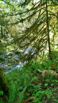
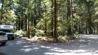
Our first campground, Goldstream Provincial Park, just outside of Victoria. That
is Sam’s camper and rental car on the left and our pickup camper on the right
Camping in Canada 2017

Approaching Victoria

While we were at Goldstream we went ziplinning. The Adrena Live zip line course is 8 zips. 7 if you don’t count the short “training” line.
They are up high in the trees. Gail wore her orange sweat pants so her body would be easy to find if something broke. I took a few short
videos. Check them out.
Gail
Jim
Sam

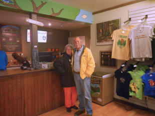
At the zip line office/souvenir stand.
We also spent time touring the Butchart Gardens. It would take a thousand pictures to
do justice to the gardens but I won’t inflict that on you. Here are just a few.


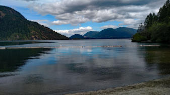
After leaving Goldstream we drove up the east
side of Vancouver Island stopping at Cowichan
Lake Provincial Park for the night.
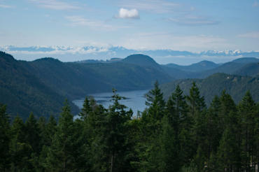
Along the way we saw some great views
and stopped in a couple of small towns to
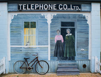
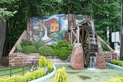
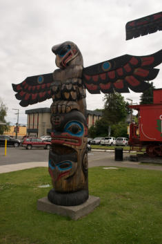
view the totem poles, murals (also known
as “murials”), and the goats at a market.



Sam and Linda
Ferry Trips
Map 2

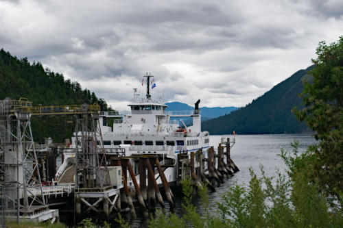

The second ferry, from Saltery
Bay to Earls Cove worked it’s way
up the bay in a view that made me
thing of Captain Vancouver, and
others, searching for the hoped
for Northwest Passage
Crossing the inland passage
with the mainland ahead
Our second night on the mainland we stopped just past Whistler (a town we by-passed since it looked like it would be expensive and reminded us of
Aspen). We stayed in Nairn Falls Provincial Park. After a good night’s rest next to the rushing river, we hiked up to see the falls.


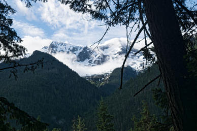
The view out of our back door and the
snow capped mountains across the river.
The trail up to the falls
The Falls


